Showing posts with label North Island. Show all posts

Sunday, May 12, 2013

Arthur's Pass & Farewell, New Zealand!

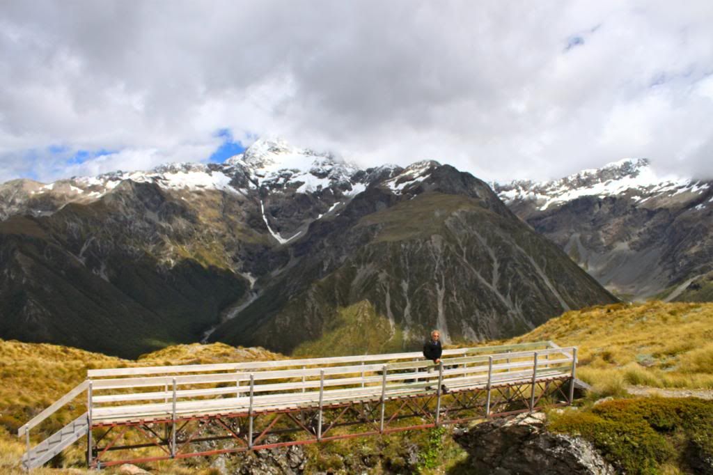
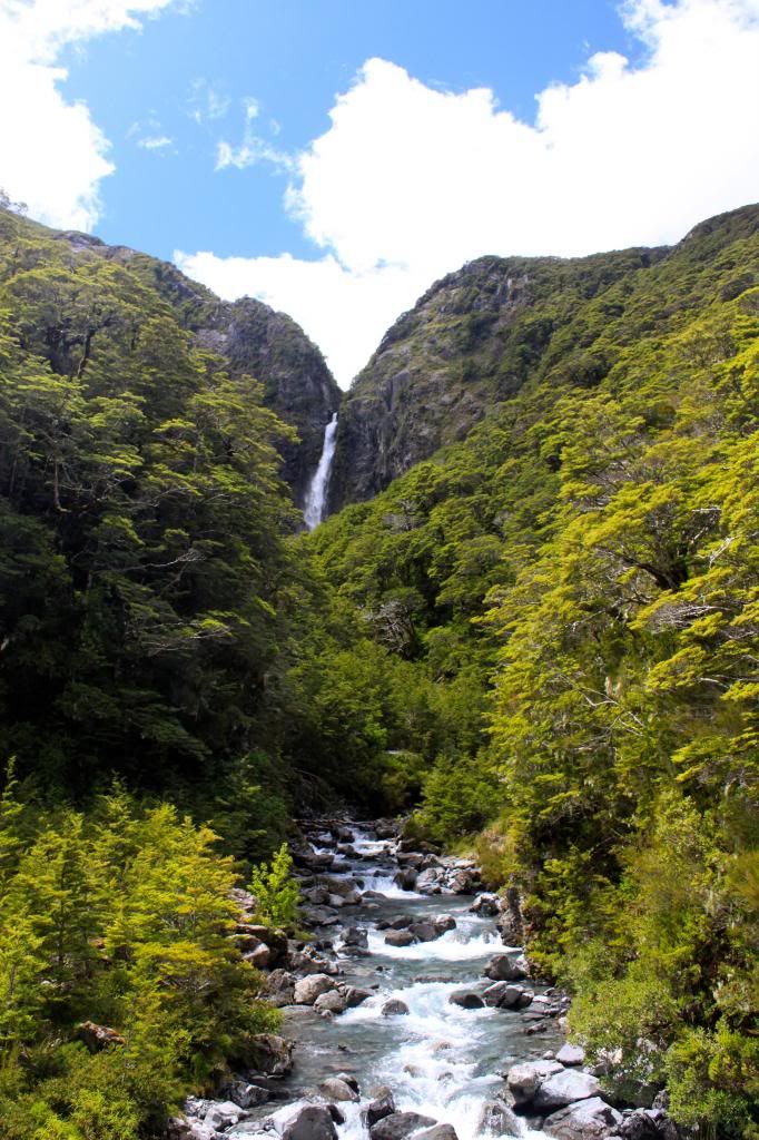
On our last night in New Zealand, we had intended to camp somewhere in the Arthur's Pass area. However, it was extremely cold once we got into the mountains, as there had been snow down to 1400 meters overnight (Arthur's Pass is a small town at about 800 meters elevation), so we ended up getting a dorm room at Mountain House YHA. In the morning, we tackled two hikes, one longer steep climb to Temple Basin and another shorter trek to the Devil's Punchbowl waterfall. It was a gorgeous day to be outdoors and we soaked up as much sun and fresh air as we could before getting in the car to head to Christchurch.

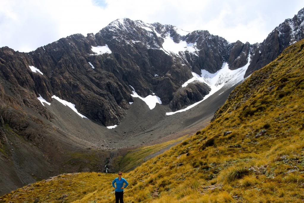
Temple Basin

Devil's Punchbowl Waterfall
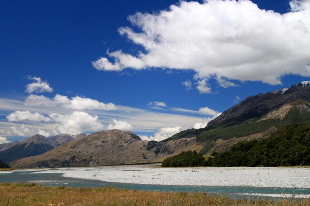
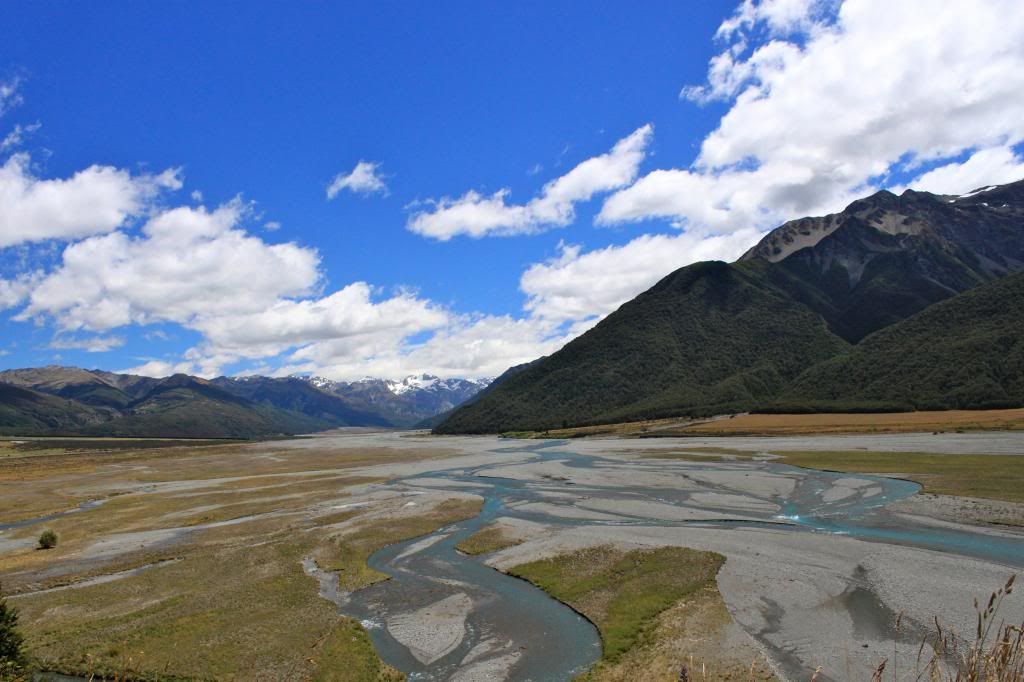
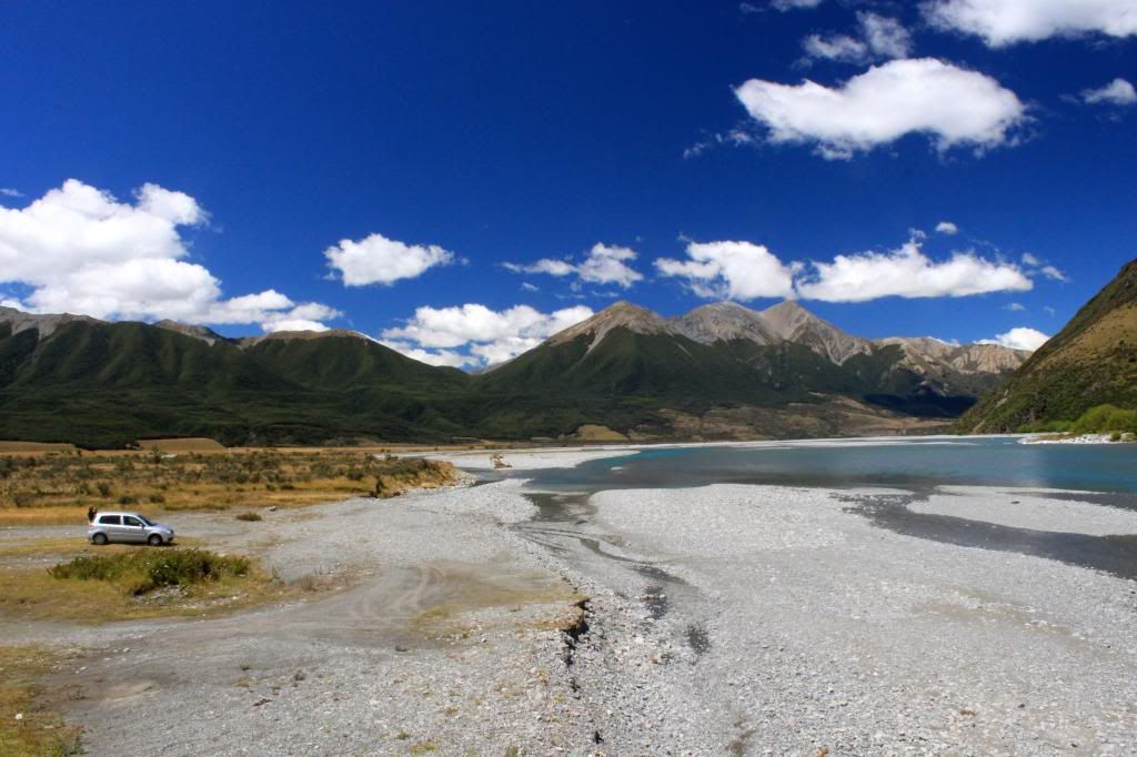
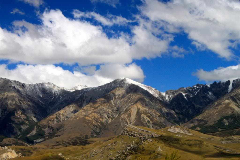
The road through the middle of the South Island from Greymouth to Christchurch provided us with amazing scenery. Along the way we stopped for lunch at a stunning location just a few minutes off of the main road. The views made me sad that we had to leave such a beautiful place!


Our rental car treated us to this lovely lunchtime view!
Goodbye, Southern Alps!
Within a few hours we were back in Christchurch, ready to hop on our plane for the short flight back to Melbourne. I put together a map of how we traveled around each island, trying to put circles at most of the places where we stayed overnight.


New Zealand is a country that caters well to travelers, with "iSITES", or visitor information centers, found in even the smallest of towns. I also loved that each and every town we drove through had relatively clean public toilets, usually right on or just off of the main road. Erik and I thought that New Zealand seemed a bit more "Americanized" when compared with Australia in terms of food, as we were able to find streaky bacon (the closest thing we have found to American bacon here!) in nearly every grocery store and we even encountered canned black beans, which we have NEVER seen in Oz! Interestingly, the Kiwis and Aussies even have different words for certain objects. For example, flip flops in Australia are referred to as thongs, but in NZ they are called jandals. We ended up buying a "chilly bin" to keep our food cold while on the road, not an "esky", as they are commonly called in Australia, also known as a cooler to us American folk.

At first I was disappointed that it was taking me so long to write up these posts about our travels in NZ, since that is essentially all I have been writing about since we returned in late January. However, each time I sat down to write a post, I got to re-live our experiences, reading the notes I had jotted down along the way and looking at the pictures, which instantly brought back wonderful memories of our trip. I feel incredibly fortunate to have had the chance to spend several weeks in such a beautiful country and I hope you have enjoyed reading about our travels. So though I am sad to see the posts about New Zealand coming to an end, I am excited to share some of our more recent Aussie adventures with you too!

Saturday, February 23, 2013

Southbound

The drive from Tongariro National Park to Wellington was filled with beautiful views of rolling hills dotted with sheep. When we arrived in "Windy Welly", the city was certainly living up to its name as far as the wind was concerned. It was INSANE! Erik went for a run with the wind at his back and literally almost fell over while running. I drove to pick him up because if he had tried to run into the wind he would never have made it back to our place! We stayed at a serviced apartment that night, which allowed us to do some laundry, access a gym, and plan our first few days on the South Island.

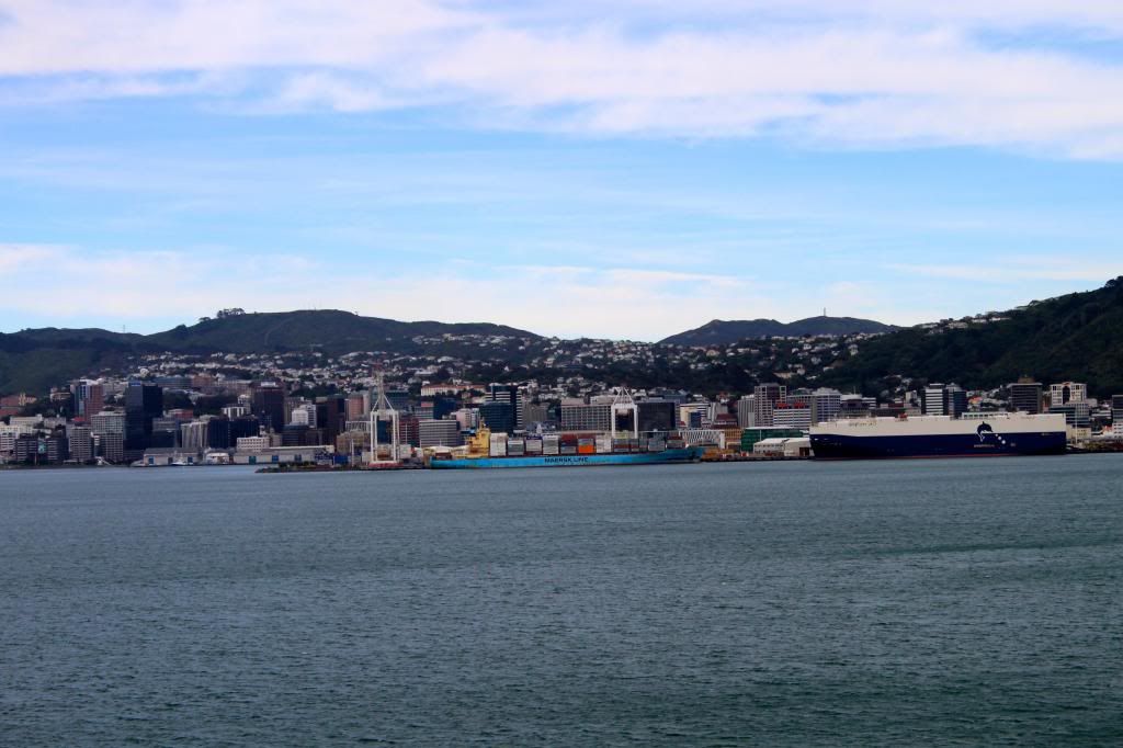
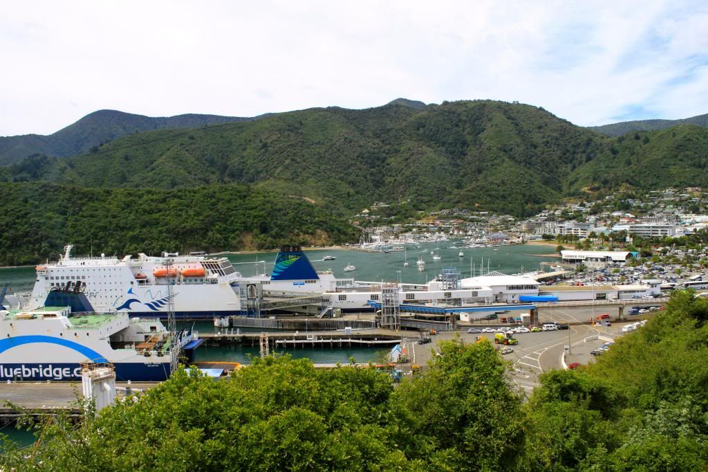
In the morning, we drove our trusty rental car onto the Interislander for a journey that would take about 3.5 hours. The views leaving Wellington were nice, but the views approaching Picton, the arrival port for the South Island, were even better.
View aboard the Interislander as we were leaving Wellington
Approaching the end of our ferry ride in Picton
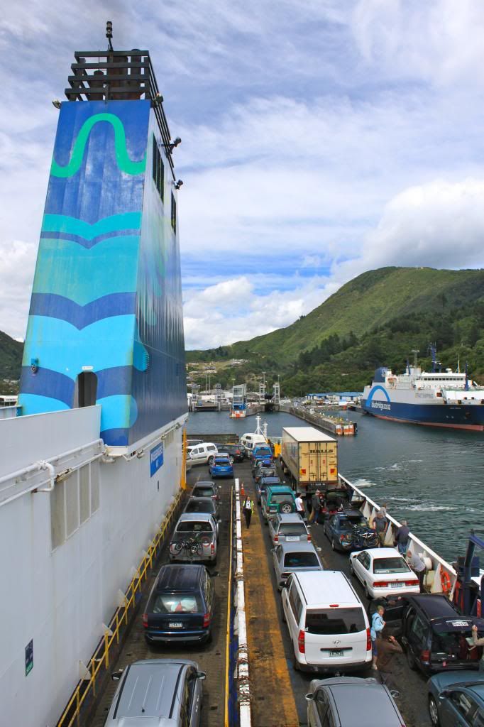
Almost time for cars to leave the ferry!
Once arriving in Picton, we started our South Island travels along Queen Charlotte Drive, a road that winds along the coast, providing gorgeous views of Marlborough Sounds. Along the way we also stopped at the Pelorus Bridge Scenic Reserve to do a bit of walking and learned that some scenes from The Hobbit were filmed there. Our destination was a quaint coastal town called Nelson, where we would spend the night.
Ferries unloading and re-loading. We were on Kaitaki, which has a capacity of over 1600 passengers!
Early views along Queen Charlotte Drive
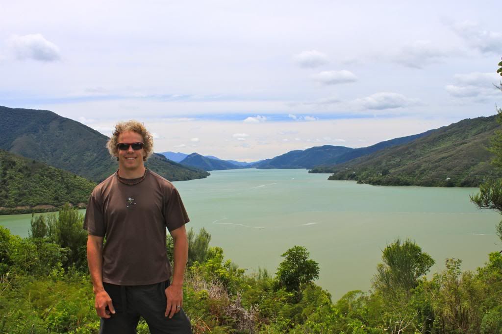
E and the Marlborough Sounds
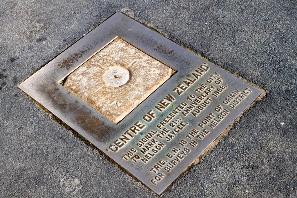
In Nelson, we stayed at an awesome hostel called Almond House, where we ended up meeting a few Americans, a rarity on this trip. One of them was an older man, Jim, originally from Maryland who has been traveling the world on his sailboat...something that Erik and I occasionally discuss! He had some amazing stories to share (he has been traveling for about 4 years and has been all over the world) and we enjoyed listening to them. One of the employees, Scott, was also American and was from Virginia, so we were able to reminisce about "home" with him. Once we got settled at Almond House, we took a short walk to the "Centre of New Zealand" and then kept walking for some sweet views of Nelson and the Tasman Bay.
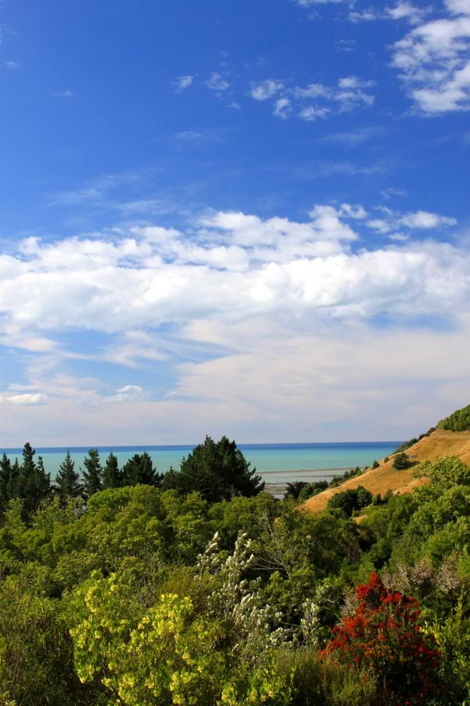
So many colors!

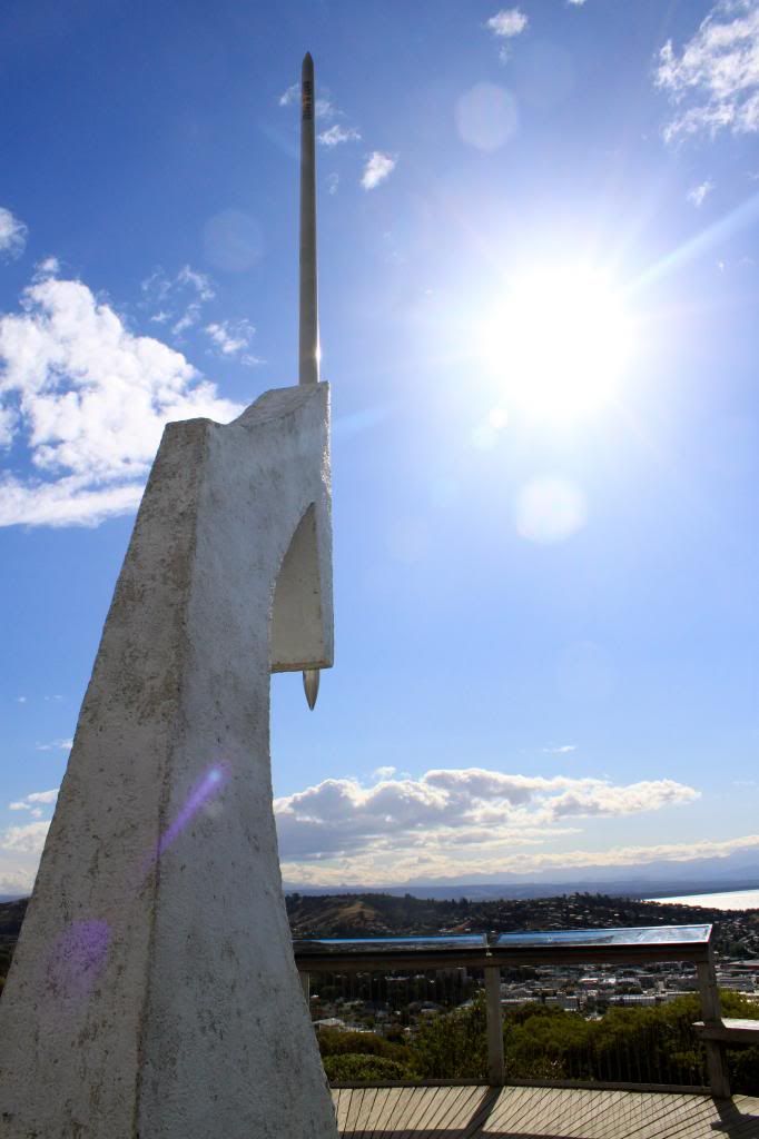
The monument at the Centre of NZ
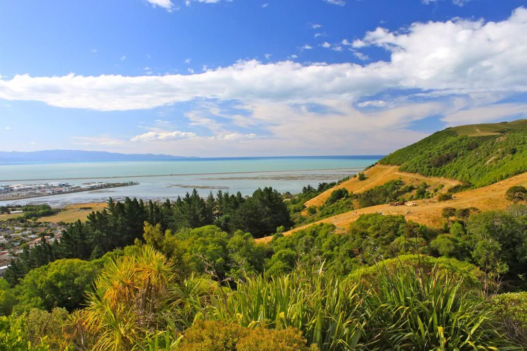
View of the Tasman Bay from above...stay tuned for pictures of the same waters from inside our sea kayak!
In the morning we made a quick stop at the grocery store (the last PAKnSAVE , our favorite grocery store in NZ) on our way to the next highly anticipated destination, Abel Tasman National Park!

Saturday, February 16, 2013

New Zealand's Best Day Hike

This blog post was SO close to being called "New Zealand's Worst Day Hike". During our hike of the Tongariro Alpine Crossing, Erik was plotting his guest post about the hype surrounding this hike, due to the fact that he was 0 for 2 in seeing ANYTHING on the hike because of poor weather conditions.

We woke up to a bit of drizzle, which did not leave us optimistic about the weather, but there were blue skies in Turangi, so I was hopeful that we would have blue skies in Tongariro National Park. My other half was not so optimistic, as he had been in a similar situation 10 years ago. When we started the hike, it was misting on and off and visibility was poor but we could see a few hundred feet in front of us.
Rain does make waterfalls look pretty!


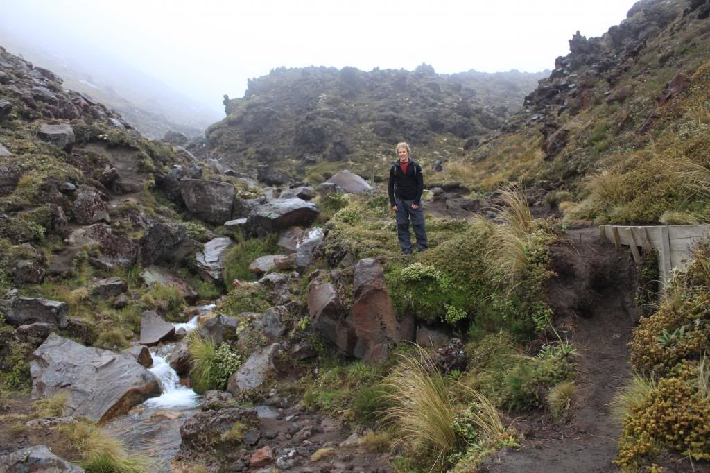
First hour of the hike. Visibility slowly deteriorating.
However, as we started to climb, the conditions got much worse.
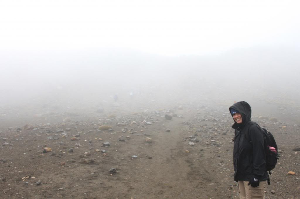
Not much to see at this point!
It was extremely cold and ridiculously windy, I had icicles forming on my jacket and at times I felt like the wind was actually going to blow me over. People who looked very fit and very well prepared (lots of layers for the rough conditions) were turning around, telling us the conditions ahead were worsening when we thought they were already as bad as they could be! We decided to tough it out, though there were many times when I wanted to head back in the direction of warmer temperatures and less wind. I still had a glimmer of hope that we might see some clearing.

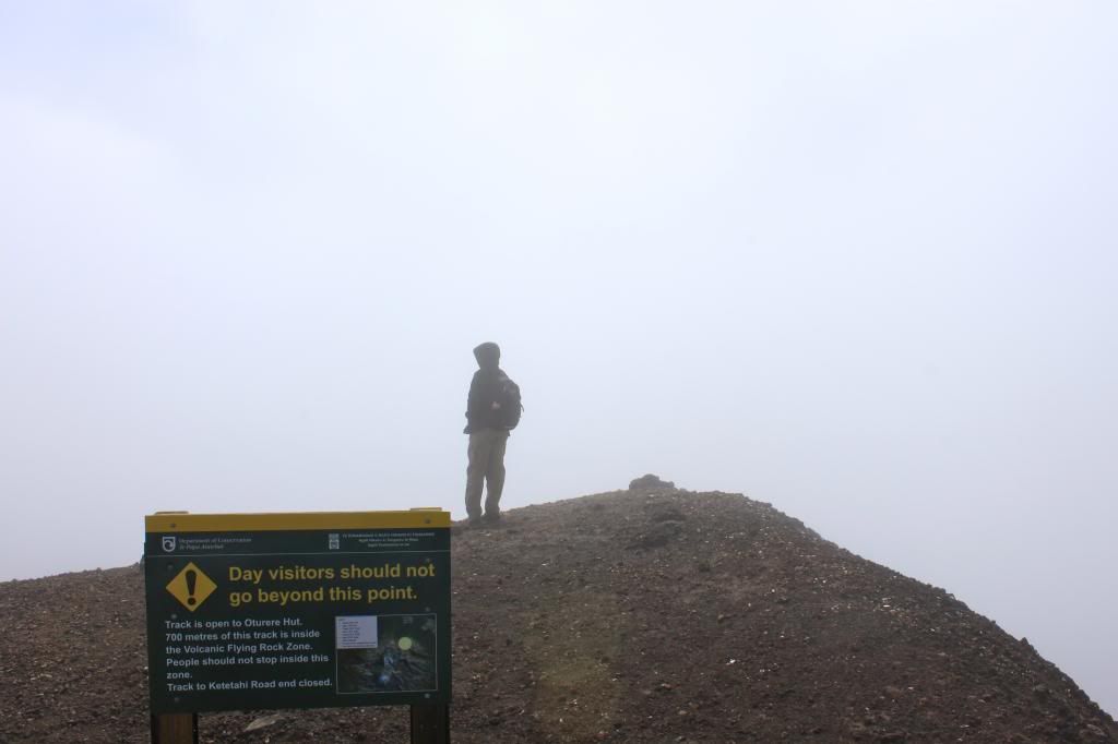
When we arrived at the "top", we could see absolutely nothing except clouds. It was quite depressing because I had seen pictures of Emerald Lakes, Blue Lake, and Red Crater that looked stunning and we were unable to see any of those things. For Erik this was the second time he had hiked the crossing and seen nothing.
Trying to determine where Emerald Lakes might be located!
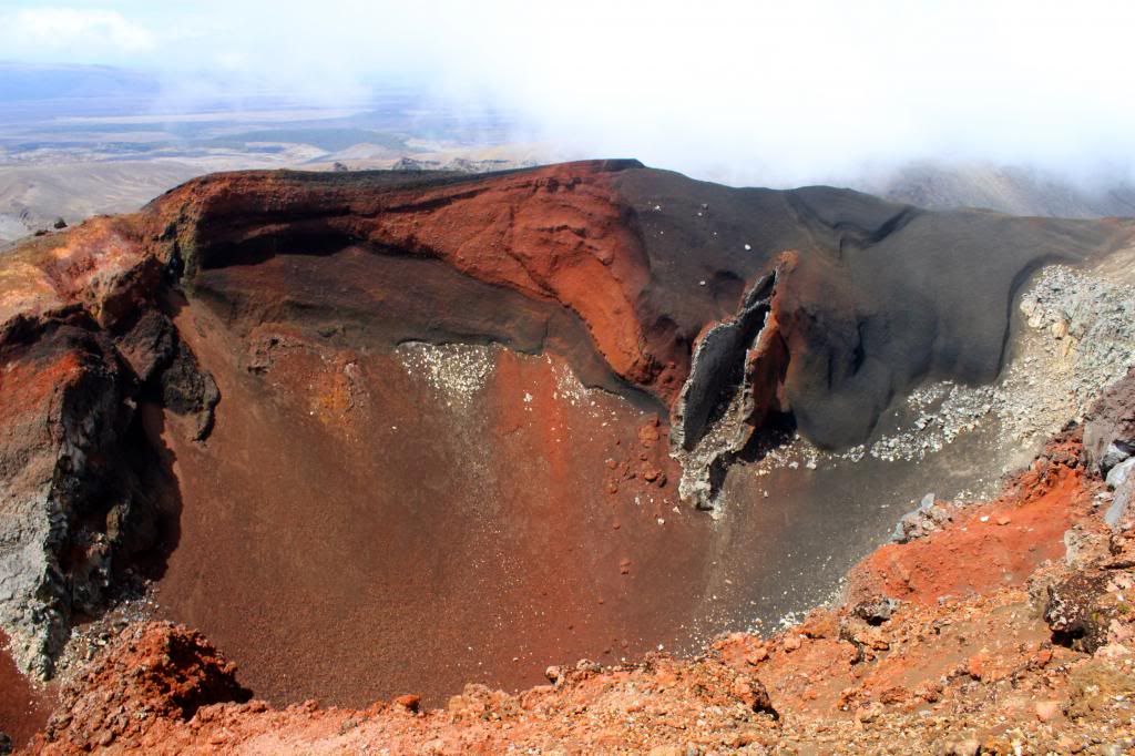
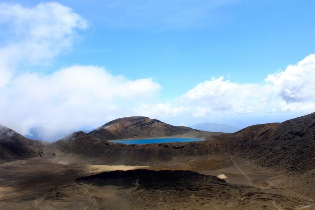
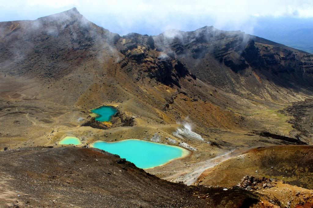
We stood there for about 5 minutes, thinking about how unlucky we were to hike in the miserable conditions only to not see anything as a reward, when suddenly we saw a glimpse of blue sky! Over the next 10-15 minutes, more patches were appearing and more people were getting to the top with hope that we might actually get a semi-decent view of our surroundings. About 20 or 30 minutes after reaching the top, the clouds just lifted, prompting clapping and cheering from fellow hikers. The sites were breathtaking. We were literally standing right on the edge of a massive crater but had no idea because of the poor visibility.
Clear skies...wooohoooo!
Red Crater
Blue Lake

Emerald Lakes
After enjoying the view for a while, we started our decent. Normally the crossing is a one way hike, but due to recent volcanic activity, it is currently an out and back. This was beneficial for us because now we had the chance to see all of the things we could not see at all on the way up!
This was taken close to the same spot as the picture above where I am standing in clouds/fog.
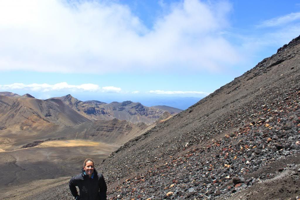
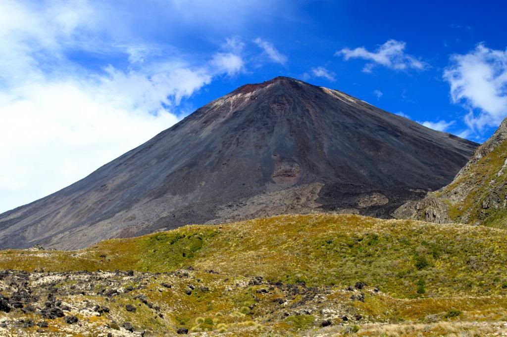
When we reached the base of Mt Ngauruhoe (Mt Doom in Lord of the Rings), we decided that we should try to summit the mountain. Erik had also done this 10 years ago, but saw nothing once again due to poor weather conditions. The hike is meant to be 3 hours return, and unfortunately we only had about 1.5 hours total to climb if we wanted to make it back to the bus in time. The climb is quite difficult because the mountain is composed of rocks from former volcanic eruptions, and because of that there is no actual trail, so for every step I was taking I was sliding down some with the terrain. We got about 2/3 of the way up, but conditions were becoming poor (clouds moved in and the wind picked up) and we were running low on time, so we decided to descend. Of course, by the time we made it down to where the bus was picking us up, the clouds had cleared and for the first time all day you could see a perfectly clear Mt Doom. Even though we did not make it to the summit, we were provided excellent views of the surrounding mountains while on our climb.
View from the side of Mt Ngauruhoe. This provides some insight as to the steepness/terrain of the climb!
Another amazing view seen from about half way up Mt Ngauruhoe.
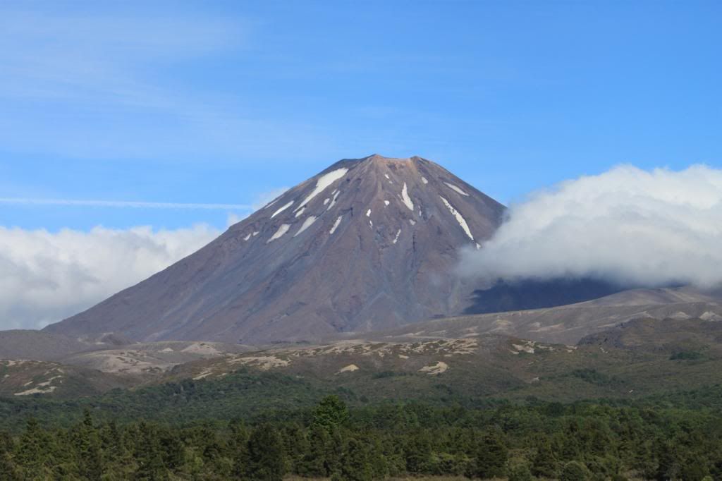
Mt Ngauruhoe
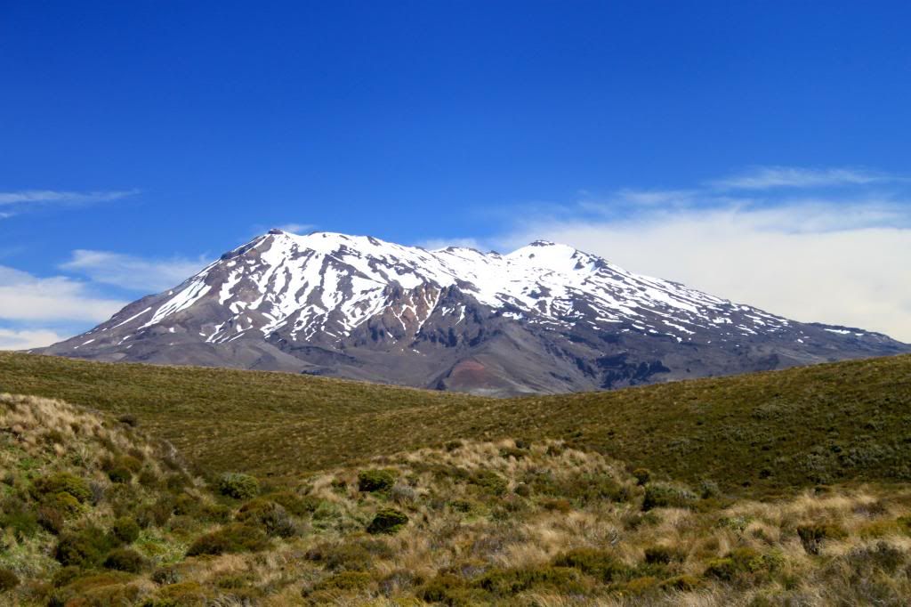
Mt Ruapehu
View before leaving on the shuttle bus. Not a single cloud in the sky.
In the end, we felt extremely fortunate that the weather cleared. In addition, I think we had a much deeper appreciation of all that we saw on the hike because of what we endured and experienced during the first half of the trek. We felt bad for all of the people who had turned around, wishing that they had waited just a little bit longer to be rewarded with beautiful views.
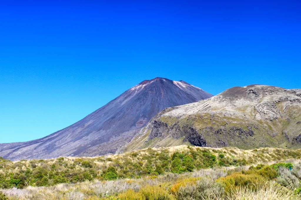
The other side of Mt Ngauruhoe as seen from the road the next day.
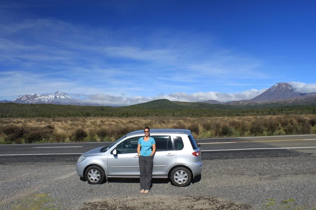
Ruapehu, Ngauruhoe, me and our sweet Madza Demio leaving Tongariro National Park
After leaving the Tongariro National Park area, we headed to Wellington, where we would catch the ferry to start our adventures on the South Island!

Saturday, February 9, 2013

Taupo

I was hoping to crank out these posts about New Zealand rather quickly, but we have been having such superb weather as of late that I cannot seem to sit down at the computer to type a post! It is a welcome change from last summer, when we experienced a lot of rain and cooler temperatures, and we are trying enjoy each beautiful day as much as possible. For my friends and family back home in Bmore and the surrounding area, I hope that you get some white fluffy stuff soon to accompany those cool temperatures you have been having. Oh, and how about those Ravens?! :)

Shout out to one of my best friends from college, Kevin, who is an athletic trainer for the Ravens!
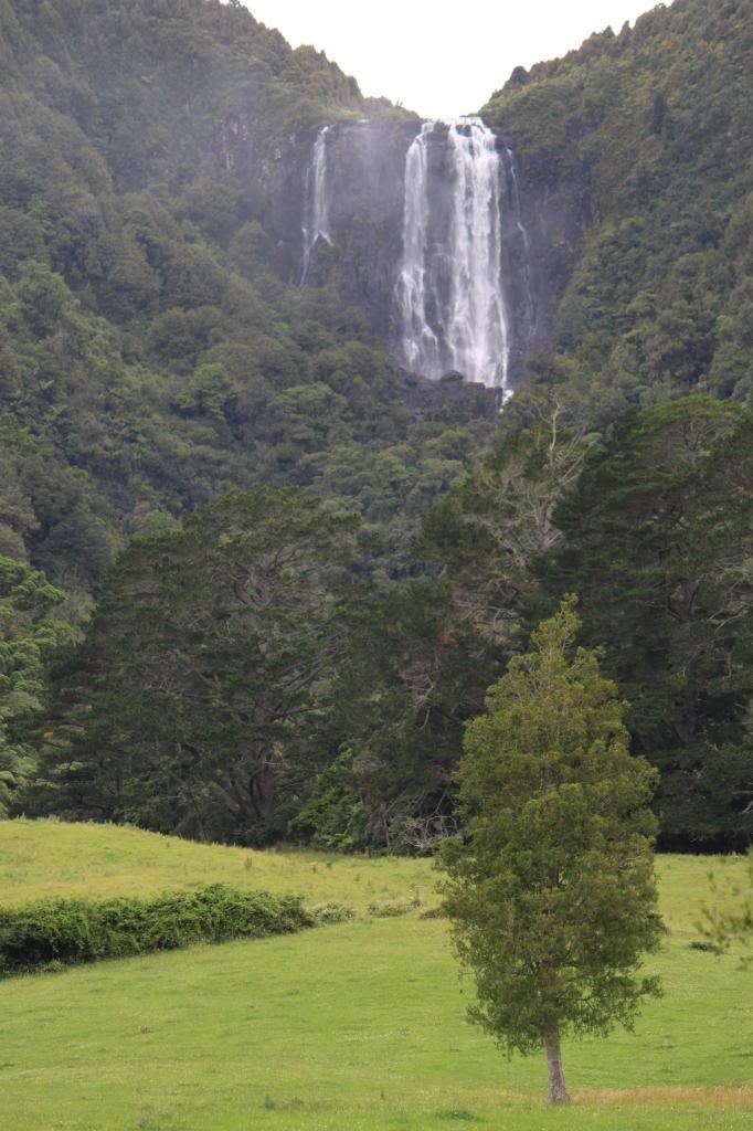
We woke up to rain on our last morning in the Coromandel Peninsula, so we quickly packed up our things and headed south. We stopped at a small town called Te Aroha and had brekkie at a cool cafe called Ironique. The town seemed to have a lot to offer in terms of hikes and things to do, so it would certainly be worth a stopover if we ever get the chance to head back to the area. Along our drive we stopped briefly at Wairere Falls, which were impressive given the rain the night before.

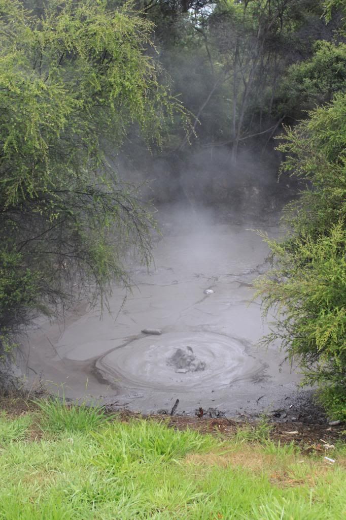
Next on our agenda was a stop in Rotorua to check out some geothermal activity! We did not stay long, and I am not sure I could have stayed much longer considering the sulfur smell in the air. The boiling mud pools were entertaining, but it was raining, so the combination of rain and the smell had me convinced that after a short stint in the town I had seen enough.

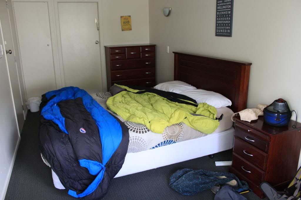
It had been raining pretty much all day at that point, so I convinced Erik that we should stay at a hostel in Taupo for the night. I called ahead to Blackcurrant Backpackers and reserved a room. In case you are wondering how we decided where to stay, we used the Lonely Planet NZ book, the BBH booklet that lists hostels in the area, and the DOC campsite guides for both islands. Once we arrived, the sun started shining (of course!), so we were able to dry our wet camping gear and set out to explore the area.
Hotel room or hostel? You be the judge! Ignore sleeping bags drying on the bed.
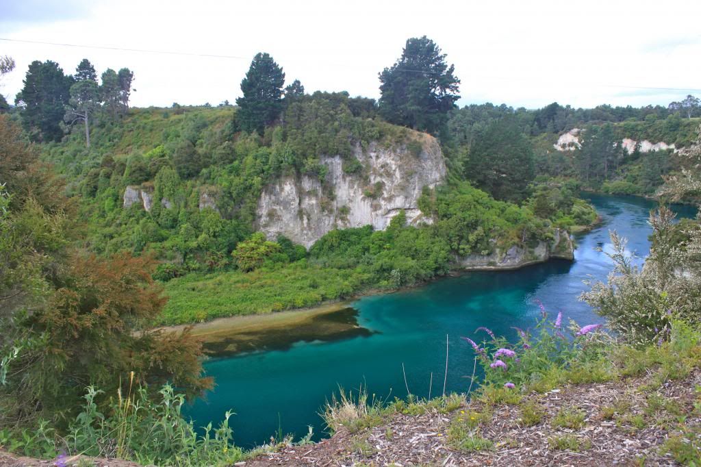
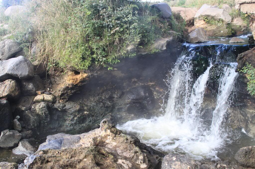
It took us a while to do so, but we eventually found the natural hot springs in the Waikato River. This was definitely one of the highlights of our stay in Taupo. Fancy resorts try to make their pools look like these natural hot springs, and we were able to enjoy them all to ourselves (not that evening...there were heaps of people there that night but we still joined in the fun) for free! The water was incredibly hot, but fortunately in order to cool down, we just had to swim a few feet towards the middle of the river where the water was cooler.
Waikato River
Hot Springs! Can you see the steam rising from the water?
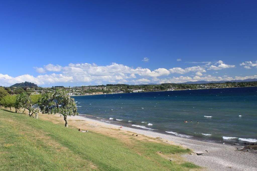
That night we walked through the streets of Taupo and I decided that I'd like to live there! A vibrant and modern town located on the shores of a lake that looks like an ocean, right next to a gorgeous river with natural hot springs, all within driving distance to mountains that offer great hiking...what's not to like?
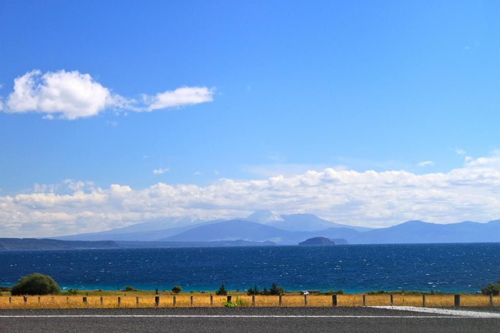
The shore of Lake Taupo
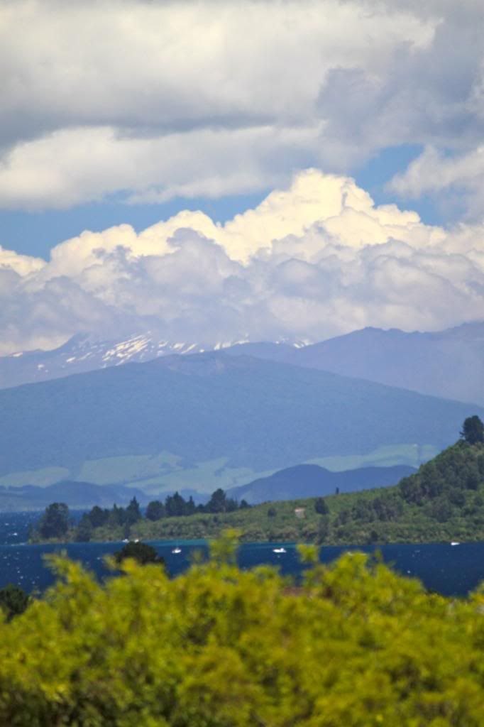
Mountaintops hidden by clouds at the south end of Lake Taupo

In the morning, Erik and I headed out on our respective runs along the river, where we got to see Huka Falls before all of the crowds arrived. On our way back, we noticed that the hot springs were empty, so we enjoyed those to ourselves as well!
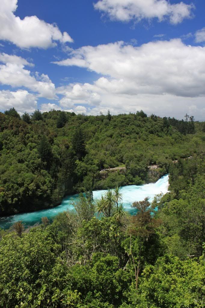
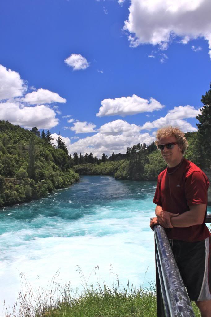
View of Huka Falls from the lookout above...
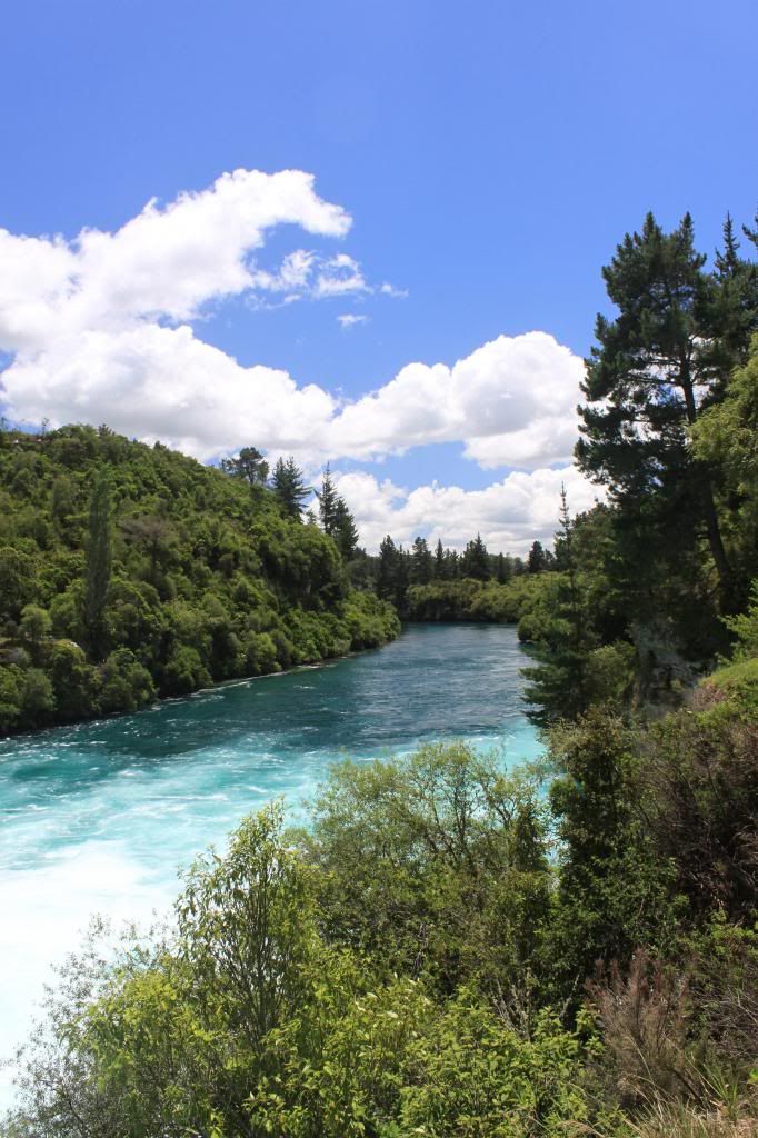
...and up close, just beyond the falls.
By that time we needed to check out of our hostel, so we did so and then headed to the Huka Falls Honey Hive, where we learned tons of cool information about bees! They also had free honey and mead tastings, so we took full advantage of those things. As it got closer to evening, we re-visited Huka Falls, enjoying the sites before we started our 45 minute drive to Turangi, a smaller town on the south side of Lake Taupo. Staying there would put us in better position to tackle "New Zealand's best one day hike", the Tongariro Alpine Crossing.